You've got the whole world in your hands with the most amazing atlas around.
This incredible and inspiring visual guide to the continents and countries takes you on a wonderful whistle-stop tour of planet Earth. ??
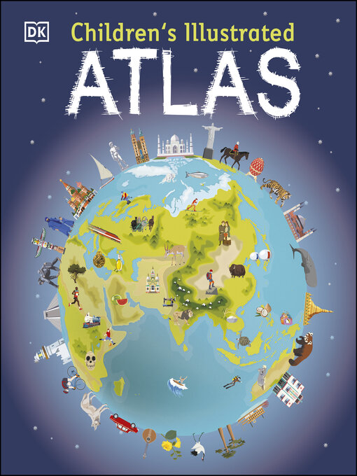
From Australia to Zimbabwe, each and every place is brought to life with stunning photography and eye-catching illustrations to encapsulate the geography, landscape, culture, history, and special features. More than 50 breathtaking maps are packed with fun and fresh images accompanied by information about climate, population, star sites, mountains, rivers, and wildlife. Accompanying keys focus on the main produce, exports, industries, and activities. As well as learning a wealth of information about our world today, the Children's Illustrated Atlas shows young adventurers how to read a map and use a key, compass, and scale.??
There is room in every children's library for this absolutely essential addition. What in the world are you waiting for?
-
Creators
-
Series
-
Publisher
-
Release date
August 1, 2016 -
Formats
-
OverDrive Read
- ISBN: 9780241526507
-
PDF ebook
- ISBN: 9780241286807
- File size: 97170 KB
-
-
Languages
- English
Why is availability limited?
×Availability can change throughout the month based on the library's budget. You can still place a hold on the title, and your hold will be automatically filled as soon as the title is available again.
The Kindle Book format for this title is not supported on:
×Read-along ebook
×The OverDrive Read format of this ebook has professional narration that plays while you read in your browser. Learn more here.